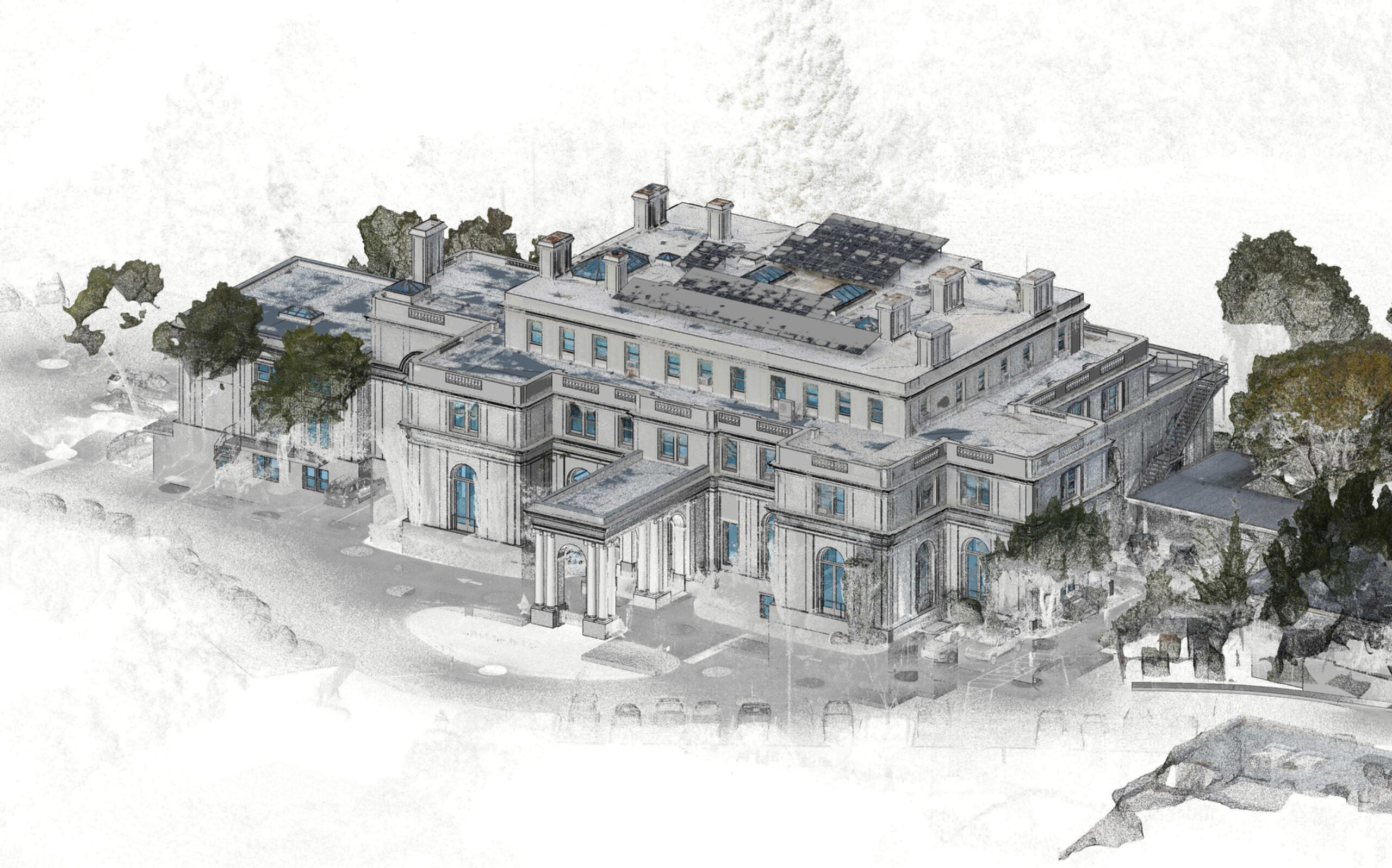
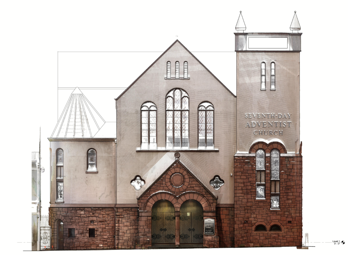
3D laser scanning captures spatial data by the use of laser light. The shape, position and spatial locations of objects are recorded by millions of points, captured within seconds. The scanner’s ability to see everything in its line of sight and create a point cloud (a set of vertices in a 3D coordinate system, defined by X, Y, Z coordinates) has revolutionized spatial data collection.