WHAT WE CAN DO FOR YOU
DOCUMENTATION
SERVICES
DIGITAL DELIVERY OF
AS-BUILT DOCUMENTATION
At 3DVDT, we understand the importance of accurate documentation of existing conditions that our Clients can rely upon when beginning their renovation, restoration or construction projects. Our 3D modeling and 2D CAD deliverables are created directly from our 3D imaging capture to ensure the highest quality product, delivered with confidence.
WHAT WE OFFER
AS-BUILT DELIVERABLES
3D MODELING / BIM
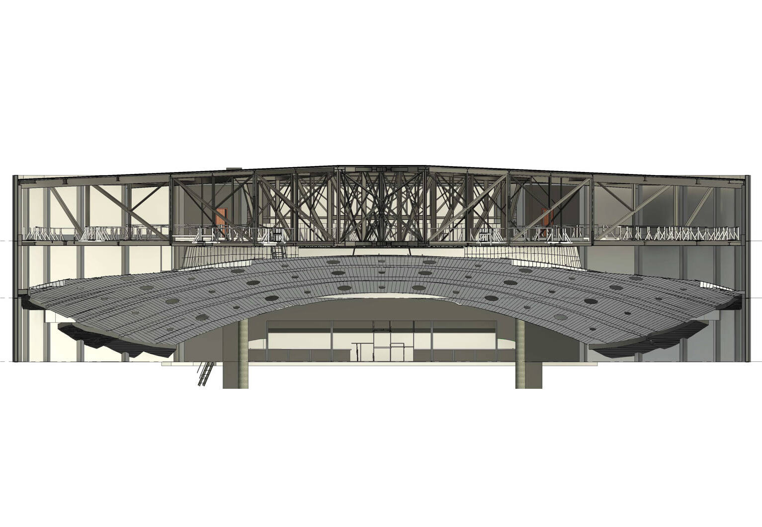
Whether you need a 3D geometric model for AutoCad or a parametric/intelligent 3D Building Information Model (BIM) for Revit, we have an experienced team and established workflow that can quickly and efficiently create a model from the point cloud scan data.
If your team would like to create the 3D model in-house, we can deliver the registered 3D Point Cloud Model ready for import into your modeling program.
2D CAD
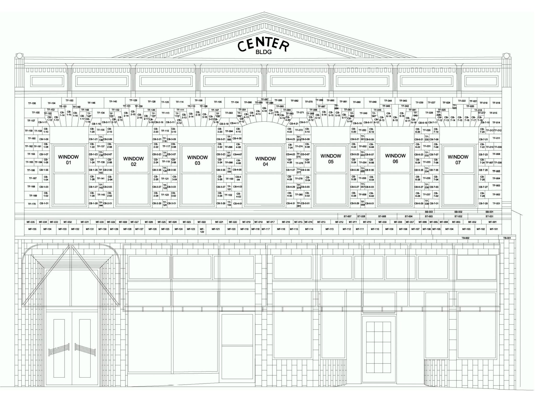
From the BIM model, we can automatically extract 2D CAD plans, sections, elevations and reflected ceiling plans that can be further enhanced with drafting detail for lighting, electrical, mechanical or fire system plans.
2D orthographic images created from the scan data can be delivered and used as a reference underlay or for 2D tracing.
3D MESH FOR HERITAGE & IMMERSIVE TECHNOLOGY
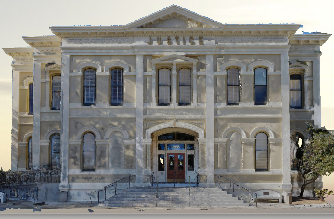
For Heritage mitigation, 3D mesh models can be delivered in addition to 2D CAD drawings requested for Historic American Buildings Surveys (HABS), Historic American Engineering Record (HAER) and Historic American Landscapes Surveys (HALS) or for archival records for Heritage sites being demolished.
3D production artists are among those leveraging 3D models to create virtual, augmented or mixed reality experiences such as Projection Mapping.
HOW CAN WE HELP?
Contact us today. We look forward to starting a conversation about your project.


