
Building Facade Inspection Requirements in San Francisco
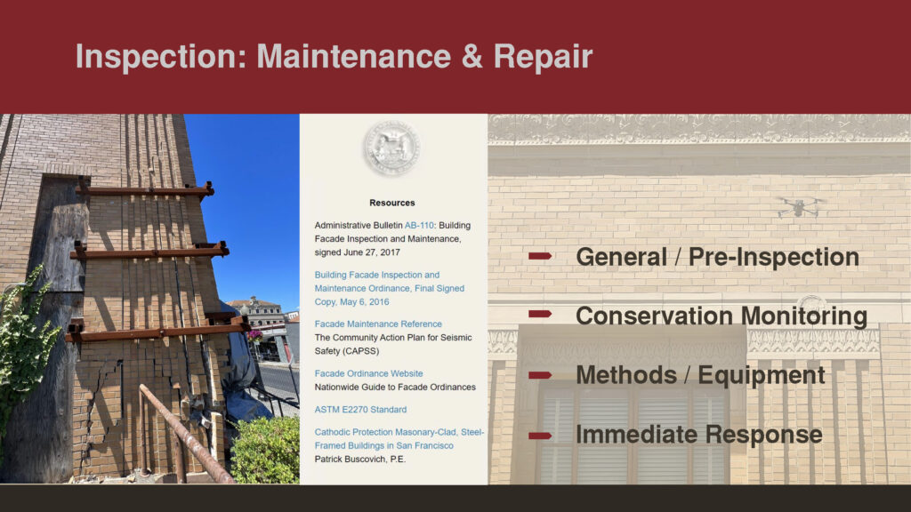
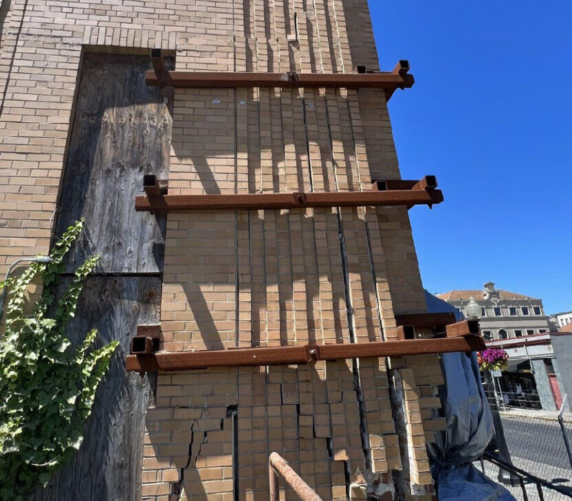
According to the Building Facade Inspection and Maintenance Ordinance of San Francisco, legislation requires the facades of certain buildings having five or more stories to undergo initial and subsequent inspections according to a schedule based on the original construction date of a building. In addition to the original ordinance, San Francisco launched in 2023 new facade inspection requirements for high-rise buildings 15 stories or taller built after 1998, according to the Department of Building Inspection.
Representing 3DVDT at the city’s Facade Inspection and Maintenance Working Group, we helped to ensure that remote sensing techniques, including 3D surveys, unmanned aerial vehicles, and other non-traditional inspection methods, were adopted as approved inspection procedures.
Improved Building Inspection with 3D Scanning + Photogrammetry
Building inspections play a crucial role in assessing the structural integrity and safety of our built environment. Traditional inspection methods often rely on visual examinations and manual measurements, which can be time-consuming, subjective, and prone to human error. However, advancements in technology have brought about a paradigm shift in the field of building inspection. Here we will explore the advanced capabilities of 3D laser scanning in combination with aerial mapping technologyto enhance the way we inspect building facades and roofs.
1. 3D Laser Scanning: A Window into Building Facades
The non-intrusive, highly accurate capture of the building surfaces, produces a detailed representation of the existing conditions, allowing inspectors the ability to analyze and monitor intricate details such as cracks, bulges, or deterioration with greater accuracy. This objectivity ensures consistent evaluation and enhances decision-making regarding recommendations for maintenance and repairs.
2. Aerial Mapping Technology: A Bird’s Eye View of Roofs
Unmanned aerial vehicles (UAVs) or drones, have gained traction in the field of building inspection. Equipped with high-resolution cameras, LiDAR, or photogrammetric systems, these aerial platforms capture detailed images and geospatial data, ideal for building facade and roof inspections. Aerial mapping can eliminate the need for inspectors to physically access roofs, mitigating the risks associated with working at heights. A pre-inspection evaluation of the information collected could help inspectors identify problem areas that may require further up-close, detailed inspection.
3. Integration and Future Prospects
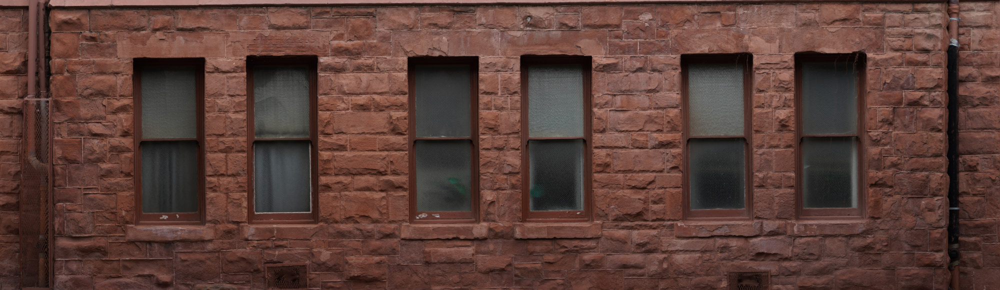
Combining data from both 3D laser scanning (lidar) and aerial mapping (photogrammetry) enables a more comprehensive understanding of a building’s condition (Fig. 1). By integrating point clouds from laser scanning for precise measurement with high-definition roof imagery from aerial mapping (Fig. 2), inspectors can gain a more detailed and accurate representation of the entire structure. By identifying early signs of deterioration or potential risks, building owners and operators can proactively address issues for public safety, extend the lifespan of their structures, and optimize maintenance budgets.
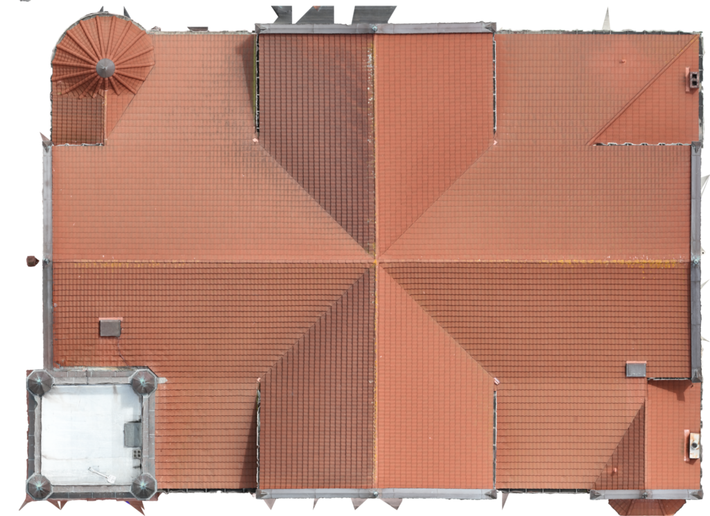
The introduction of 3D laser scanning and aerial mapping technologies has transformed the landscape of building inspections. These innovative tools provide inspectors with unprecedented levels of accuracy, efficiency, and safety. By leveraging the advantages of 3D laser scanning and aerial mapping, we can ensure the longevity and structural integrity of our built environment, making cities safer and more resilient for generations to come.
LiDAR vs. Photogrammetry: When to Use Each
3D laser scanning (LiDAR) and photogrammetry are complementary technologies, and the most thorough facade and roof inspections often combine the two. Knowing what each does best helps determine the right approach for a given building.
LiDAR (3D laser scanning) actively emits laser pulses and measures their return to calculate millions of precise coordinates per second. Because it does not depend on ambient light, it performs consistently in shadowed recesses, shaded courtyards, and low-light interiors, and it excels at capturing exact geometry — dimensions, plumb, and displacement — at millimeter-level accuracy.
Photogrammetry reconstructs 3D geometry from a series of overlapping high-resolution photographs. Its strength is rich, true-color surface detail, which makes it well suited to documenting cracking, staining, corrosion, and material texture. Captured from the ground or by unmanned aerial vehicle (UAV), it can safely reach parapets, cornices, and roof areas that are difficult or hazardous to access on foot.
Used together, laser scanning provides the dimensionally accurate framework while photogrammetry adds the photographic context — giving inspectors both measurable geometry and a detailed visual record of surface conditions in a single, coordinated dataset.
What a 3D Building Inspection Can Detect
A reality-capture inspection produces an objective, measurable record of a structure’s existing conditions. Issues that can be identified, measured, and monitored over time include:
- Facade cracking, spalling, and delamination of cladding or masonry
- Bowing, bulging, or out-of-plumb displacement of walls and parapets
- Deflection or sagging in structural elements
- Roof deformation, ponding areas, and drainage concerns
- Evidence of water intrusion, efflorescence, and material deterioration
- Movement or change over time, by comparing scans captured on different dates
Because every measurement is tied to a common coordinate system, findings can be quantified rather than estimated — and repeat scans make it possible to track how a condition evolves between inspection cycles.
Safety and Efficiency Advantages Over Traditional Methods
Conventional facade inspections often depend on scaffolding, swing stages, or rope access to reach elevated surfaces — an approach that is slow, costly, and exposes inspectors to height-related risk. Remote-sensing methods change that equation:
- Safer data capture: most of a building can be documented from the ground or by UAV, reducing time spent at height.
- Speed: a scanner captures a comprehensive dataset in a fraction of the time manual measurement requires, with less disruption to occupants.
- Completeness: the entire visible envelope is recorded at once, so questions can be answered later from the data without a return visit.
- Objective monitoring: a permanent, repeatable digital record supports long-term condition monitoring and helps demonstrate compliance with local inspection ordinances.
Frequently Asked Questions
Does a 3D scan replace a visual inspection by a qualified professional? No. Reality capture gives inspectors more complete and accurate data to work from, but the assessment and sign-off remain the responsibility of the qualified inspector or engineer of record.
How accurate is the data? Terrestrial laser scanning typically captures building geometry at millimeter-level accuracy, and photogrammetry adds high-resolution color detail of surface conditions.
Can inspections be repeated to track change? Yes. Because each dataset is spatially referenced, scans from different dates can be directly compared to measure movement, settlement, or deterioration over time.
Learn more about our building inspection & analysis services and how we deliver measurable as-built documentation.
At 3DVDT, we are at the forefront of this exciting technological evolution, providing expert 3D capture services to help AEC professionals harness the full power of 3D as-built documentation. To discover how our services can transform your next project, get in touch with us today by filling out a contact form or emailing us.